Efficient Mapping and Monitoring:
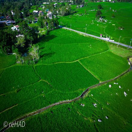
Aerial drones are widely used in environmental mapping and monitoring. Drones are capable of collecting visual and sensor data from heights that are difficult to reach by humans or ground vehicles.
IT Enthusiast | Web Developer | Teacher
Postgraduate Program Universitas Negeri Makassar
Hello there! I’m Reza, and I believe that every learner—especially those who face unique challenges—deserves access to engaging, effective educational tools. My journey began in Parepare and unfolded in Makassar, where I earned my Bachelor’s in Special Education and went on to complete a Master’s in Guidance and Counseling at Universitas Negeri Makassar. Both my skripsi and thesis centered on hands-on R&D projects: designing and refining multimedia learning media that help children with learning difficulties gain confidence and skills at their own pace.
Over the years, I’ve woven together my passion for pedagogy and technology into roles that span academic administration, instructional design, and tech support. As a staff administrator in the Special Education Department at UNM, I keep everything running smoothly—from student records to event planning—while wearing my LMS administrator hat to ensure that online courses are intuitive and accessible. I’ve also had the privilege of contributing to national initiatives: mentoring pre-service teachers through the Ministry’s Praktisi Mengajar program, supervising certification processes for the UKMPPG, and monitoring interview schedules for aspiring educators in PPG Prajabatan. Each collaboration has taught me how to balance attention to detail with big-picture vision, always keeping learners’ needs front and center.
When I’m not coordinating class schedules or troubleshooting web security issues, you’ll likely find me on a solo motorcycle ride through Sulawesi’s winding roads or planning my next travel adventure. Those moments of exploration fuel my creativity and remind me why inclusive education matters: by experiencing new places and perspectives, I’m constantly inspired to develop learning environments where every student feels empowered and supported.
If you’re looking for someone who combines deep special-education expertise with real-world tech skills—and who approaches every project with warmth and curiosity—let’s connect. I’m excited to explore how we can work together to build inclusive, innovative learning experiences that leave a lasting impact.

Aerial drones are widely used in environmental mapping and monitoring. Drones are capable of collecting visual and sensor data from heights that are difficult to reach by humans or ground vehicles.

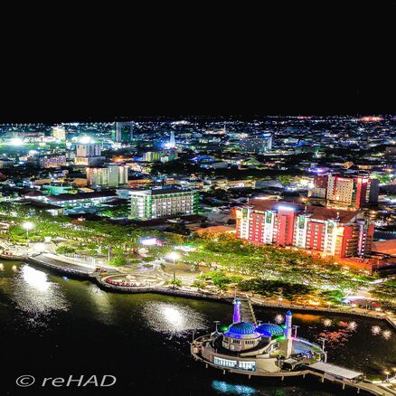
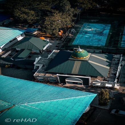
Aerial drones have revolutionized the photography and videography industry by providing access to previously inaccessible perspectives. With drones, photographers and videographers can capture images or record videos from varying altitudes, creating unique and stunning perspectives. Drones also enable the creation of spectacular aerial views, such as landscape photography, sports event documentation, filmmaking, or advertising. These advantages make drones an essential tool in the creative and entertainment industry.

Aerial drones play a crucial role in the field of security and law enforcement. Drones can be used for surveillance and monitoring in public security activities such as police patrols, border surveillance, and securing large events. They can provide a broader and real-time aerial perspective, assisting in identifying and addressing threats more efficiently. Moreover, drones can be equipped with advanced technologies such as thermal cameras, gas detection sensors, or facial scanners to aid in search and rescue operations, fire monitoring, or detecting illegal activities. The presence of drones can enhance the presence and response in maintaining public safety.